
The Rattlesnake Creek originates in the mountains north of Missoula and drains into the Clark Fork just outside of downtown, and Rattlesnake Drive winds its along the creek way through some of the most desired housing in the Missoula area. This neighborhood, often referred to as "The Rattlesnake" by locals (and at times broken into the Upper and Lower Rattlesnake), is not only scenic and beautiful but is also full of opportunities for recreation and dining. Be sure to explore the Rattlesnake on your next trip to Missoula.
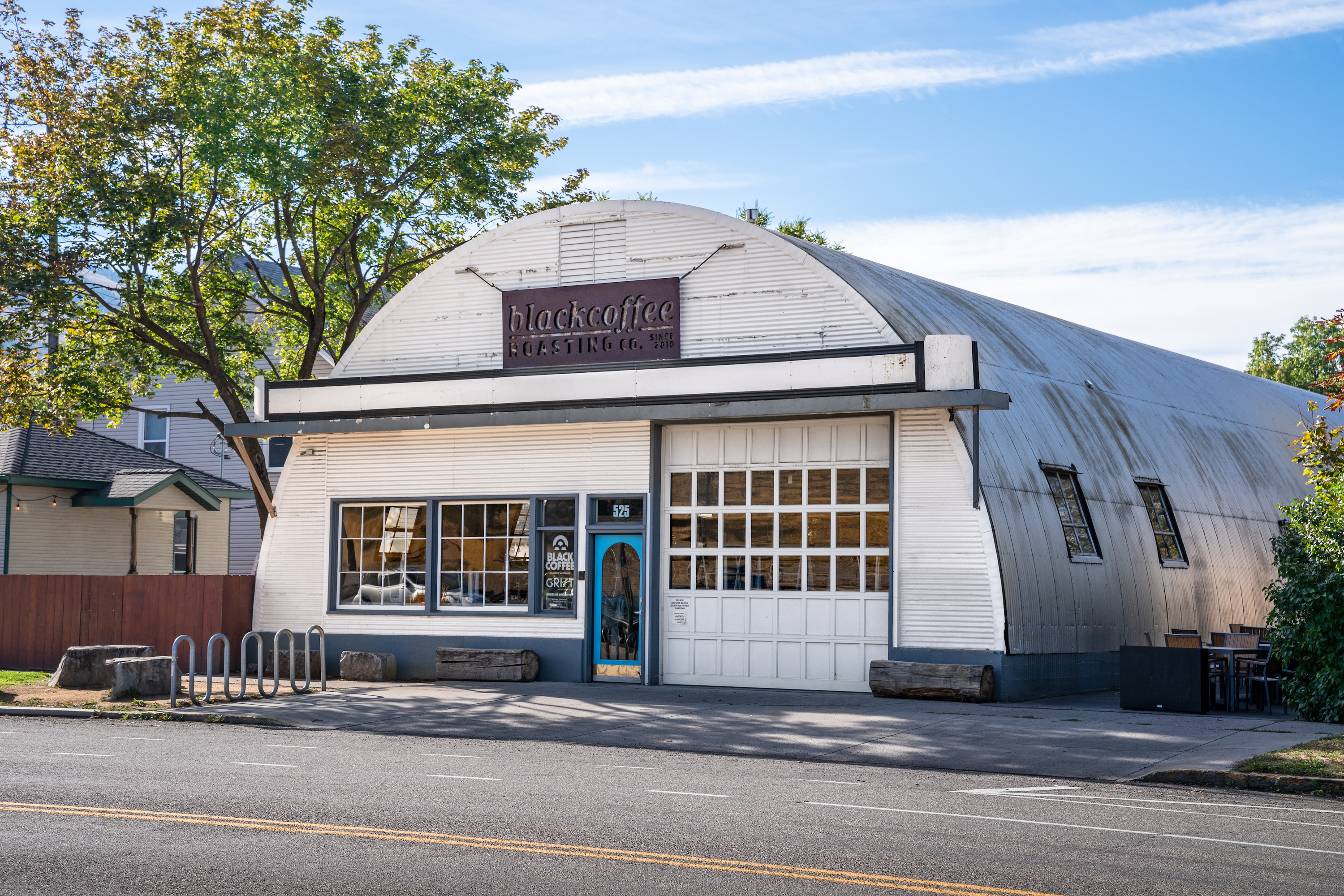
Located on the outer edge of downtown Missoula at the base of the Rattlesnake drainage, Black Coffee Roasting Co. is brews up delicious coffee beverages and serves up delicious pastries and snacks as well. Whether you are looking to grab a to-go cup of joe before hitting the trails or are looking for a place to cozy up for an afternoon, Black Coffee is your must-go spot.
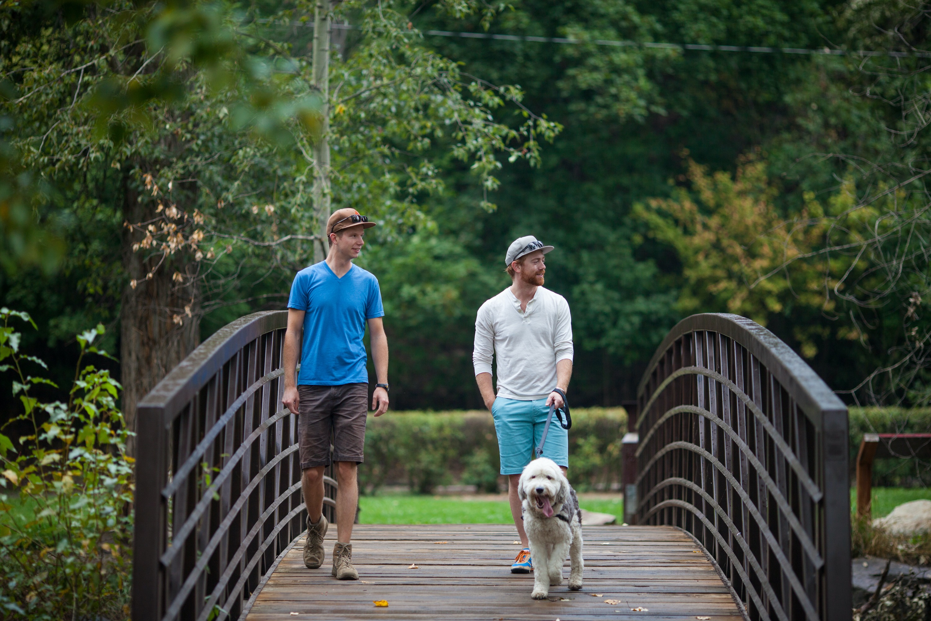
One of Missoula's most-photographed spots, Greenough Park is located just outside of downtown Missoula and features miles of paved walking trails that follow the gorgeous Rattlesnake Creek. Mountain vibes with city convenience, Greenough is a great place to spend the anywhere from a lunch break to a full day exploring, sitting, picnicking, or simply enjoying nature.
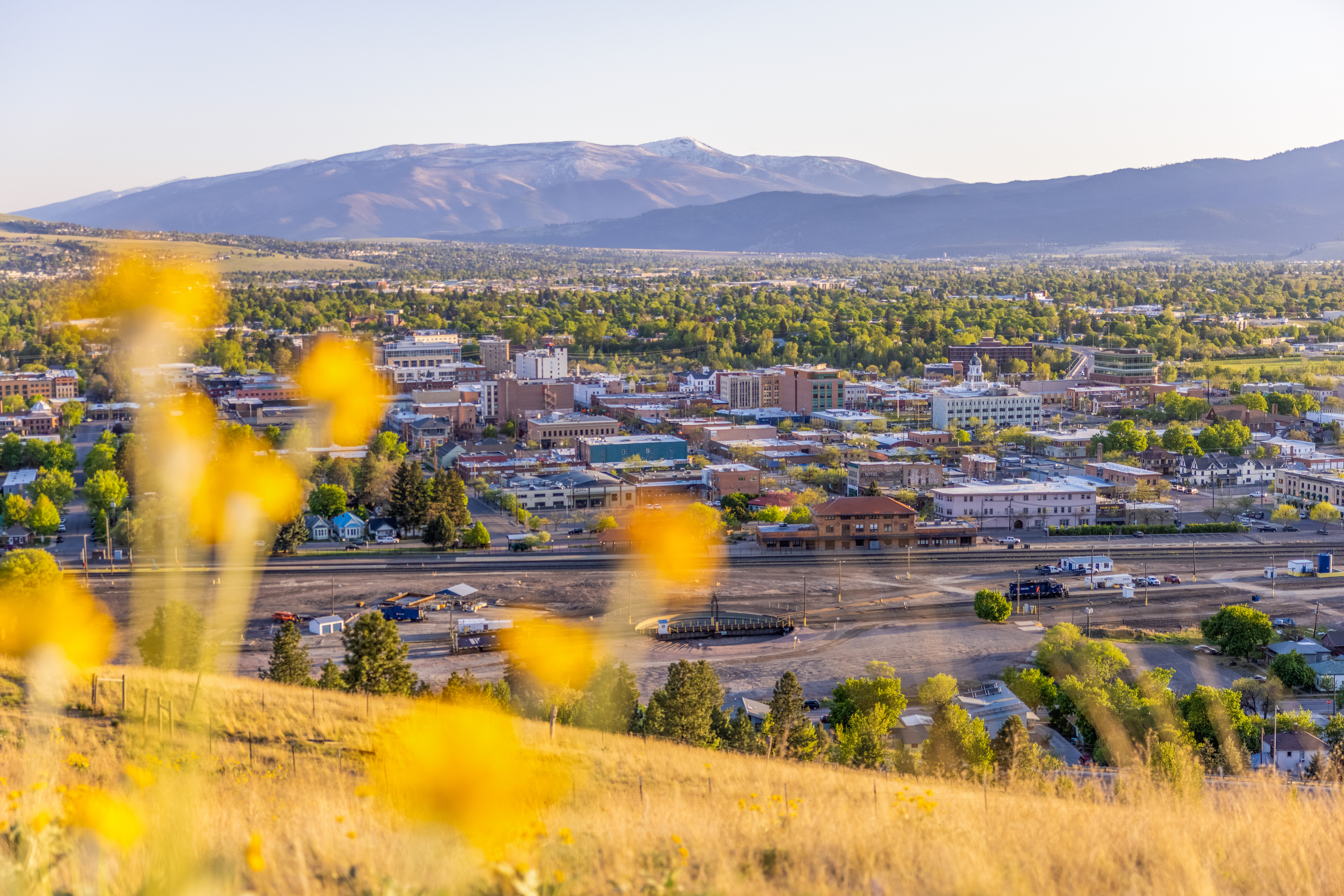
Missoula's Waterworks Hill is perhaps one of the most frequented trails in Missoula, in part because of the access to downtown Missoula (it is just north overlooking town) and in part because the trail is just so darn short and sweet, providing great views in exchange for minimal work! You can access the main Waterworks trailhead off Greenough Drive for a quick 1/2 mile hike to the overlook, or you can keep driving north where Greenough Drive turns into Duncan Drive and access the back end of Waterworks via the PEAS Farm access point for a slightly longer jaunt through the hills with great views as a reward.
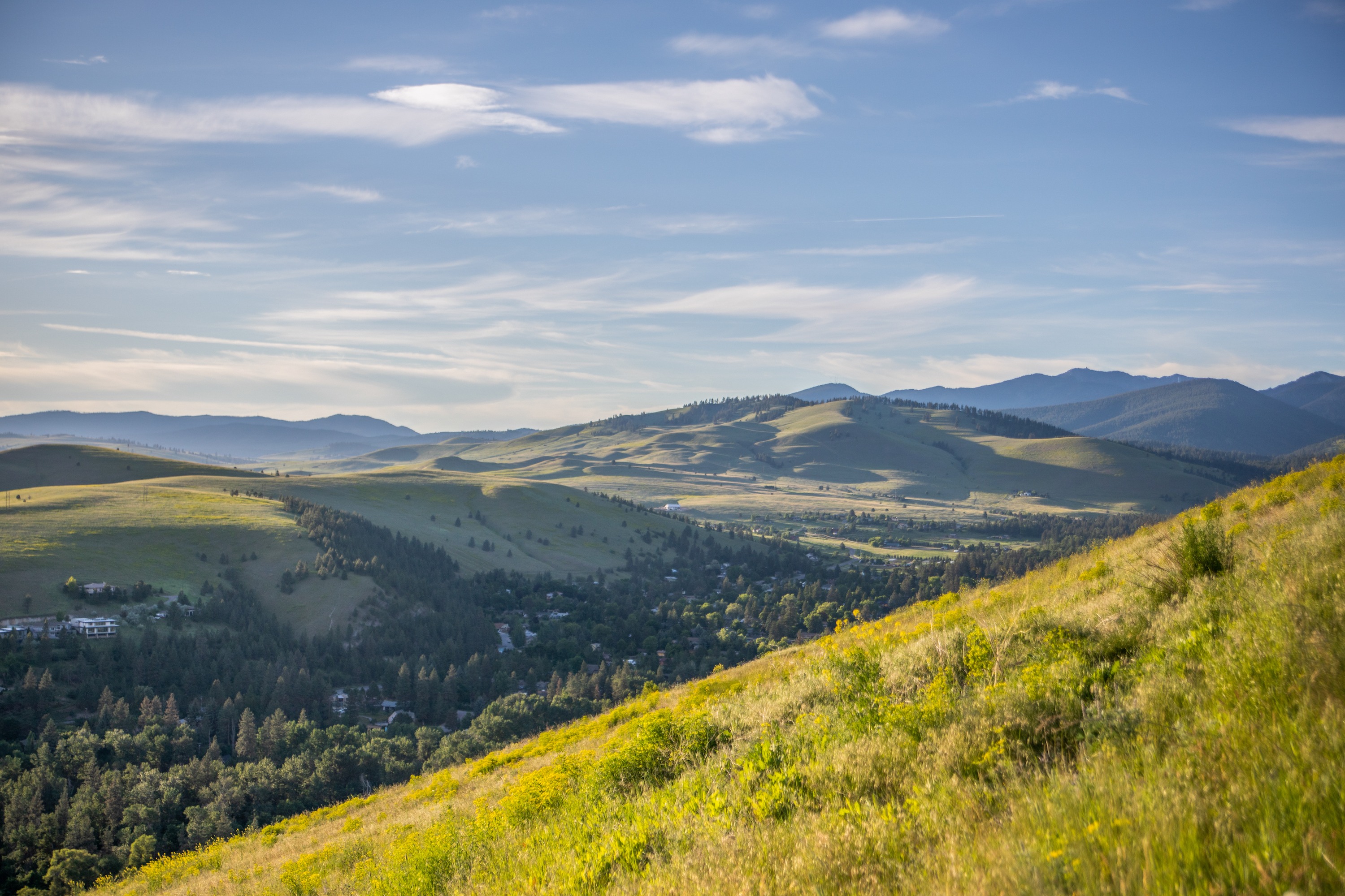
Everyone knows the famous M on Mount Sentinel, and equally as iconic is the L, which is for Loyola Sacred Heart High School, on Mount Jumbo. Views from the top offer gorgeous panoramic views of Missoula's surrounding mountain valleys. Mount Jumbo's main trail access is located in the lower Rattlesnake off Cherry Street just past the Van Buren/I-90 roundabout, but there are many other social trails to access Jumbo throughout the Rattlesnake neighborhoods and North Hills trails.
Jumbo is closed in the winter for the elk migration from December to April (or as needed). Please mind all posted signs and help keep this crucial migration habitat safe for the Jumbo Elk Herd!
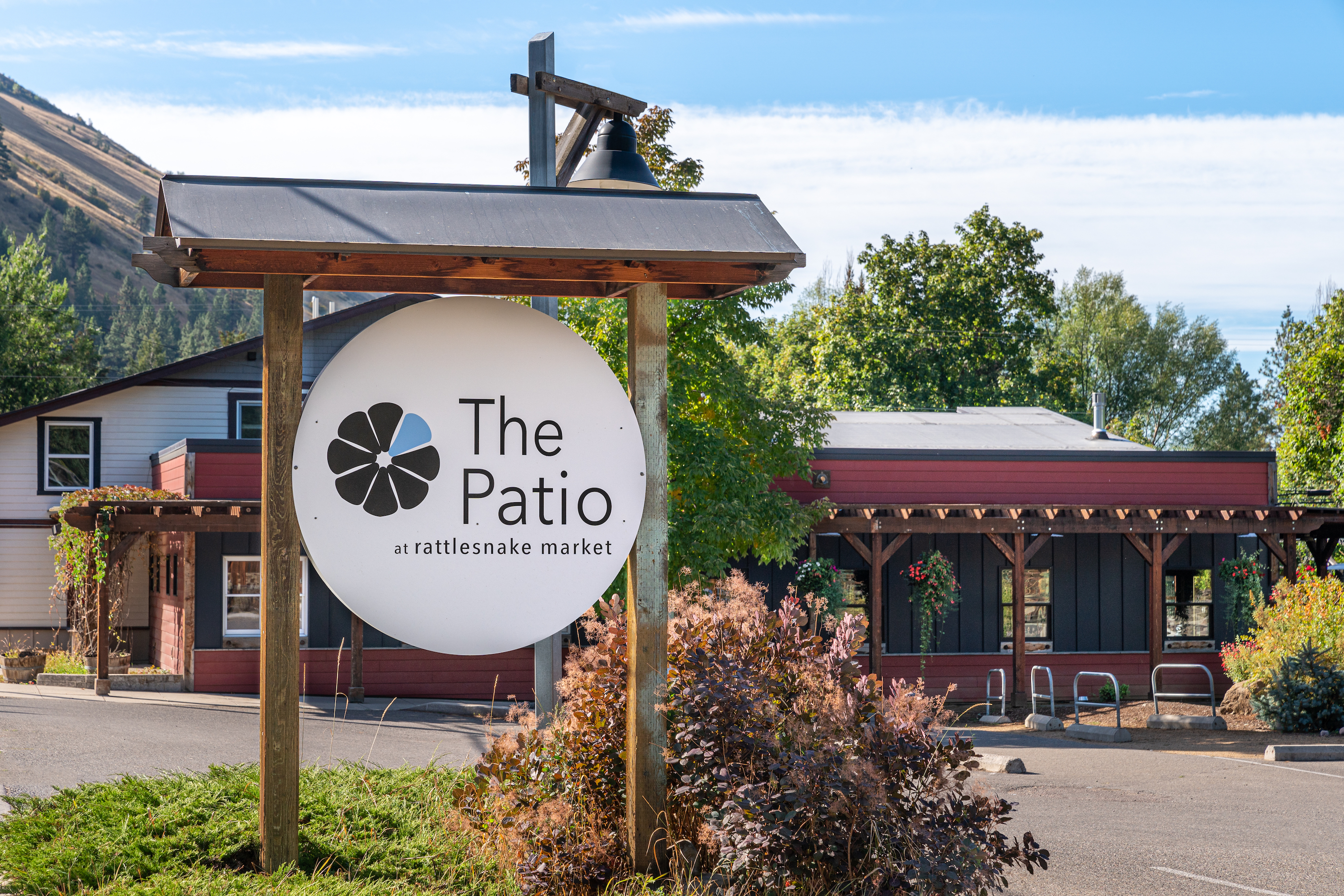
Originally a small grocery store to service Rattlesnake residents, this adorable and delicious spot is a local favorite and a great place to stop in while you are exploring the Rattlesnake area. The cafe's menu includes burgers, salads, and signature entrees as well as weekly specials and has a nice selection of beer on tap. The patio is one of our tops in town, too, so be sure to take the time to enjoy the views!
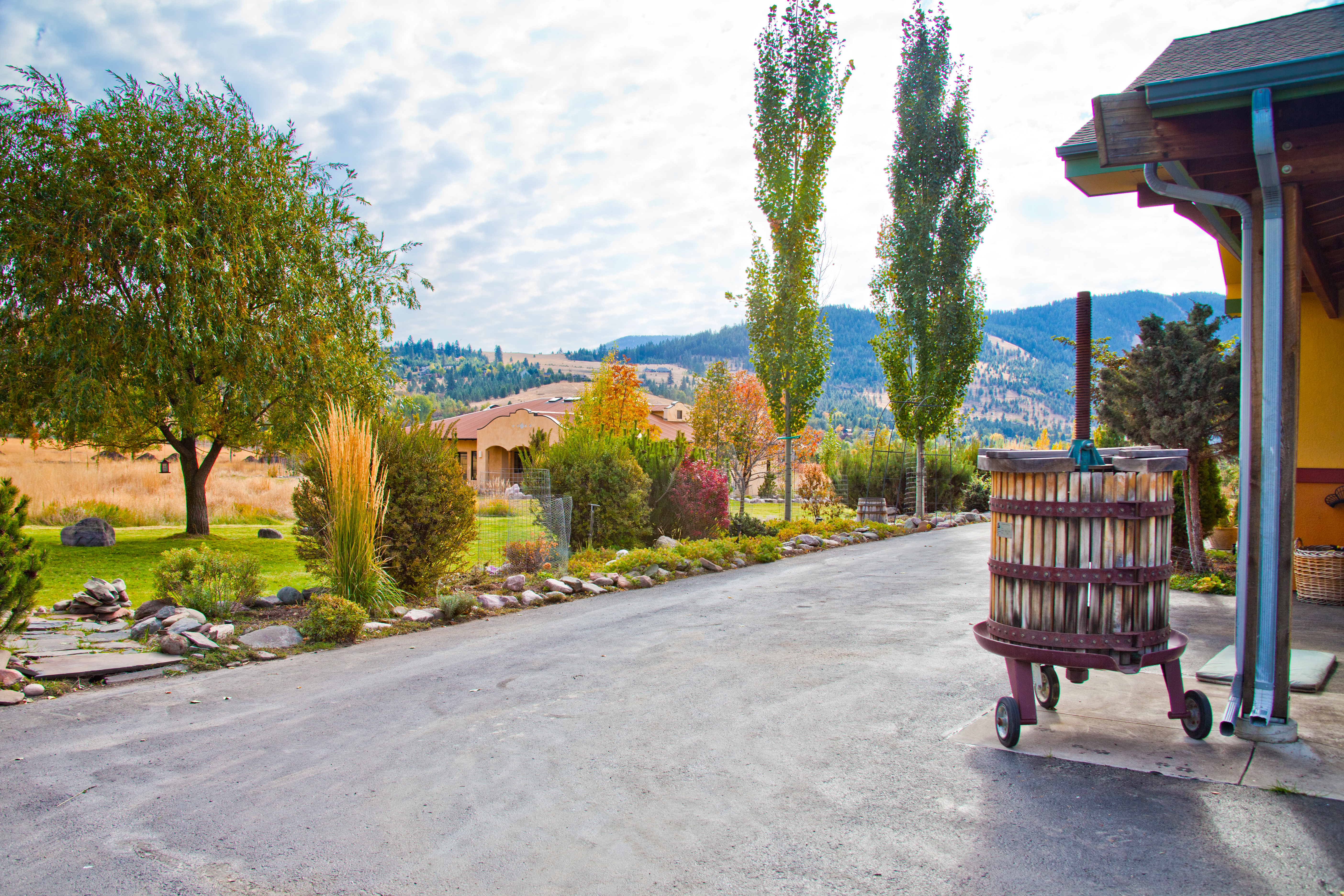
Missoula may be known for its craft beer scene, but did you know that it is also home to its very own winery? Ten Spoon Vineyard and Winery, located in the Upper Rattlesnake en route to the Rattlesnake National Recreation Area, is not only incredibly scenic but also incredibly tasty. Open year-round, the winery offers tastings of their signature collections. Enjoy live music every week and wood-fired pizza April to October. If weather permits, sit outside and take in the stunning views.
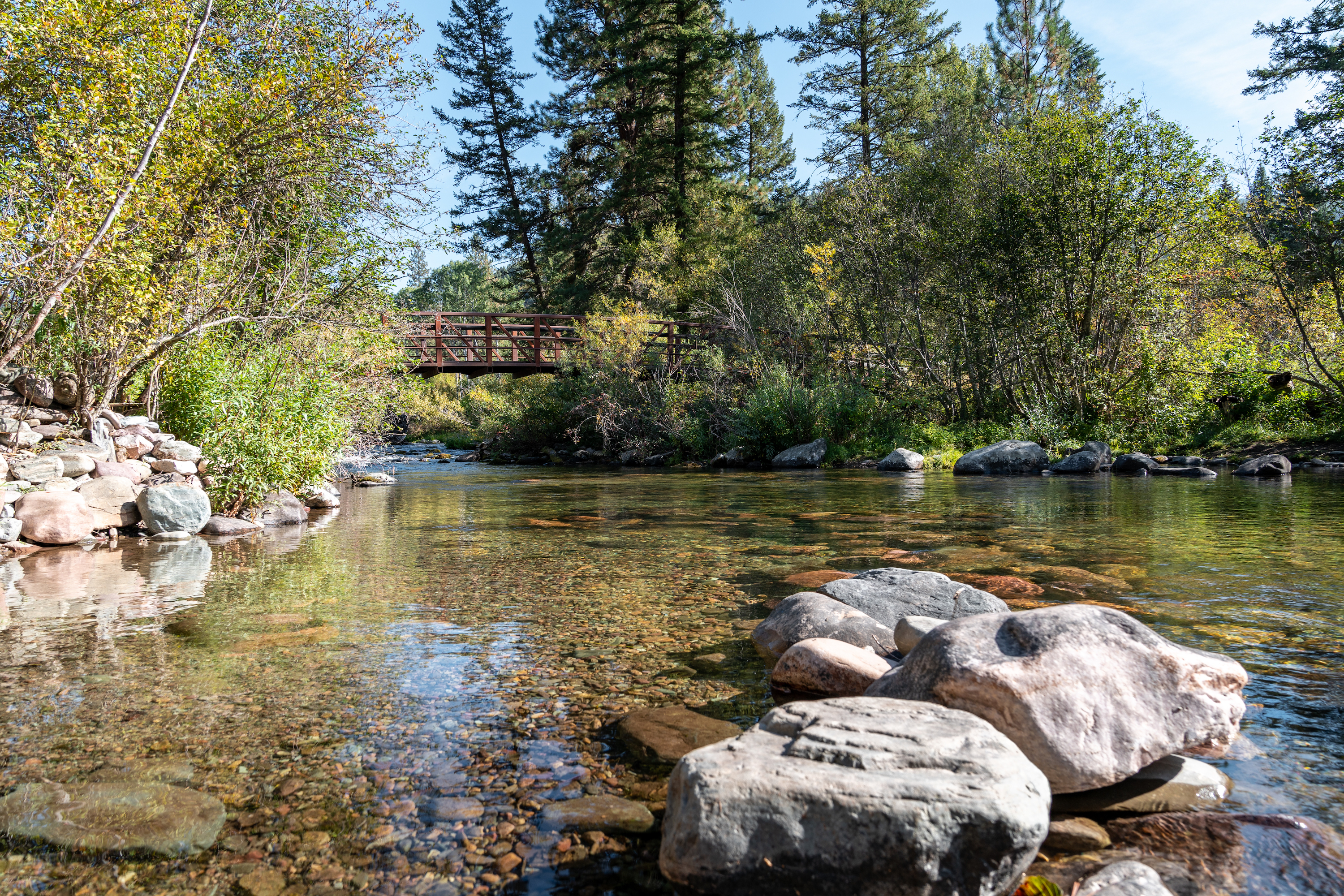
Nestled north of Missoula, the Rattlesnake National Recreation Area is perhaps one of the most popular spots in Missoula for hikers and mountain bikers. The main trail is relatively flat and follows Rattlesnake Creek through wooded forested and cozy yet expansive mountain views. If you are looking for some elevation gain, fear not: the trail systems criss cross for miles on end and can take you all the way to Stuart Peak, sitting at 7960 ft above sea level.
Updated: 11/7/25