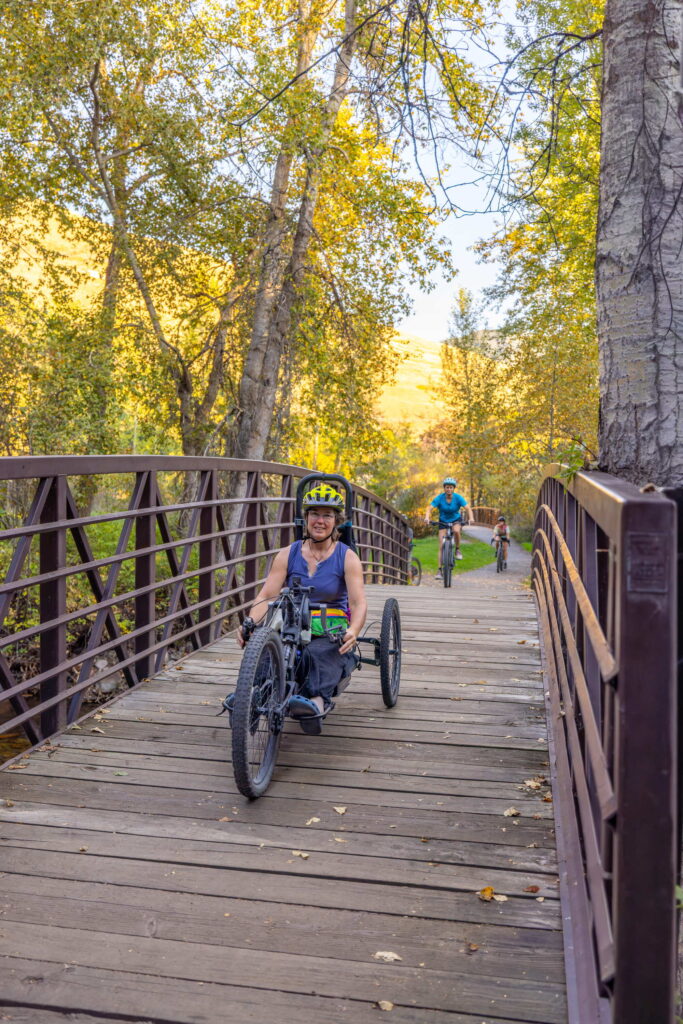
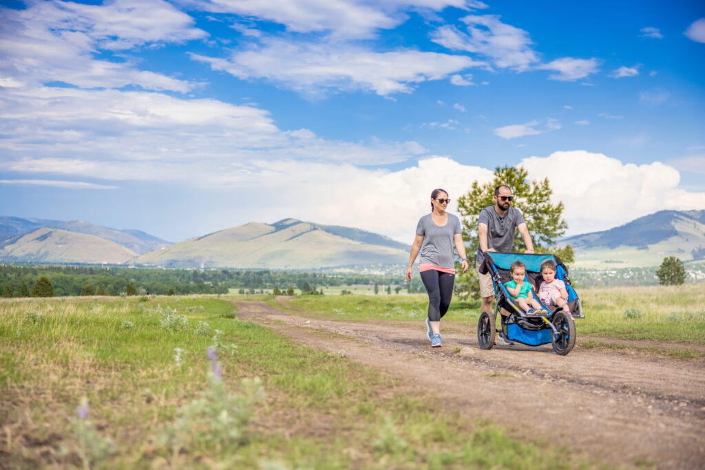
There’s this place where adventure is accessible to every body and discovery is not one-size-fits-all. Missoula is known for the stunning mountains and wilderness that surround the city, but visitors might be surprised to learn how many flat and accessible trails can be found in and around our charming mountain town. This means that in Missoula, there is a trail for all abilities and every type of adventurer. We have compiled a list of trails that are flat and well packed or paved, making them perfect for wheelchairs, adaptive equipment, strollers and gentle walking alike to help you find your perfect adventure.
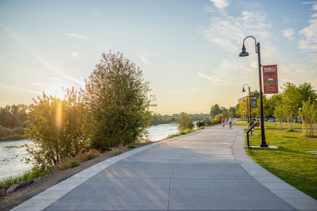
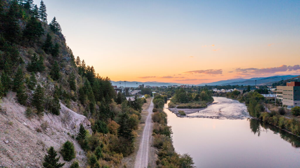
A year-round favorite, the Riverfront Trail System encompasses several trails, including the Riverfront and Milwaukee trails. The paved sidewalk is ADA-accessible and weaves along the Clark Fork River through the heart of downtown and through residential and commercial areas. The views are fantastic and the accessibility to shops, restaurants and breweries makes it a must-do.
Surface Type: Paved
Trail Length: 7 miles of connected trail
Trail Elevation: 3,183 ft (no notable elevation gain)
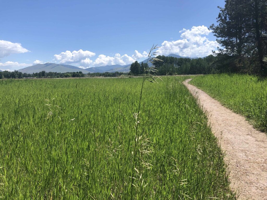
Maclay Flat is just that - flat! This trail can be walked as a loop or an out-and-back, depending on your desired length. If you want an out-and-back, start going left towards the river from the main parking area for a great view of the Clark Fork before its confluence with the Bitterroot River. The loop trail weaves through grasslands and offers a unique vantage of Missoula’s mountain skyline looking east towards Mount Sentinel and Mount Jumbo.
Surface Type: Gravel/dirt
Trail Length: 1-3 miles, with loop options
Trail Elevation: 3,122 ft (no notable elevation gain)
Beginning at the base of Mount Sentinel near the University of Montana, the Kim Williams Trail follows Hellgate Canyon west of town along the old Milwaukee Railroad grade. This flat and wide trail provides fantastic views of the canyon and surrounding mountains. The most accessible portion of the trail is the paved section in the first about 1.1 miles (5% or less grade), using wheelchairs/mobility equipment or strollers. After this point, motorized equipment may be useful.
Surface Type: Packed gravel/dirt
Trail Length: 9.8 miles out & back
Trail Elevation: 3,200ft (226 ft elevation gain)
Located north of town and beginning at the Rocky Mountain Elk Foundation headquarters, the Grant Creek Trail winds its way through 13 neighborhoods and provides scenic views of the mountains north of town. This spot is a favorite of locals, bikers, runners and walkers of all ages and abilities.
Surface Type: Paved, plowed during winter
Trail Length: 3.3 miles
Trail Elevation: 3,143 ft (351 ft gain)
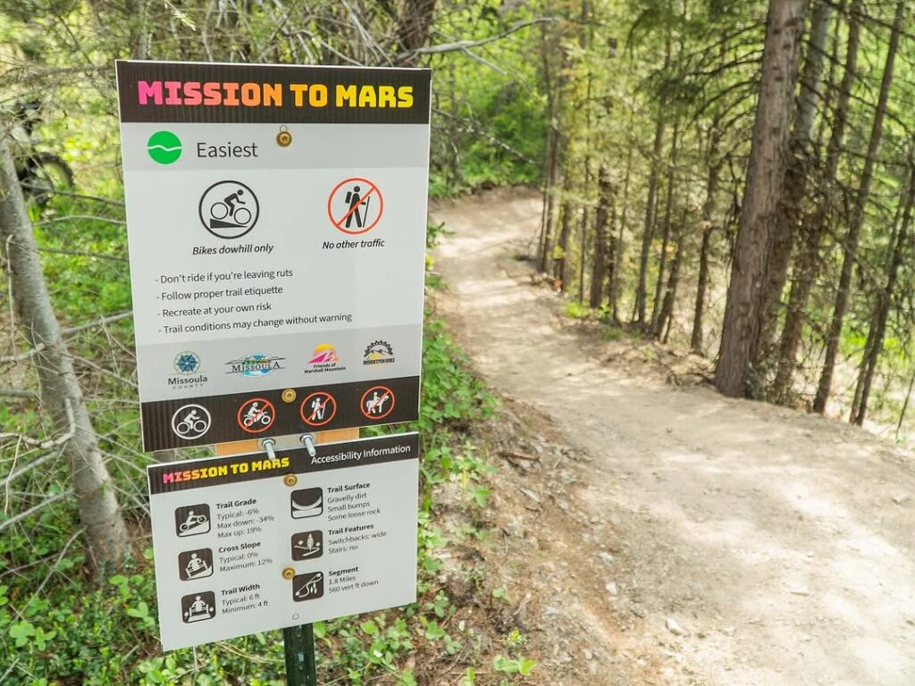
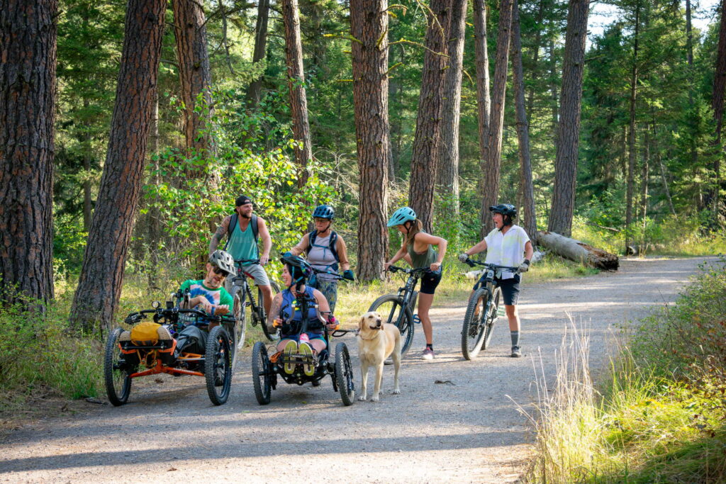
Photo courtesy of MARS (Missoula Adaptive Recreation & Sports)
Completed in 2025, Mission to MARS at Marshall Mountain is a trail designed by Radius Trail Solutions with input from Missoula Adaptive Recreation & Sports and Dovetail Trail Consulting, to provide a high-thrills downhill mountain bike trait suitable for adaptive equipment. Marshall Mountain, located just east of town, is a hub for mountain biking in the warmer months and cross-country skiing in the winter. The Mission to MARS trail snagged the spot of #1 adaptive trail by SingleTracks in 2025. The trail is 1.65-feet wide with baked corners and follows 573 feet of vertical decline through gorgeous ponderosa forest, making it a great ride for bikers of all skill levels.
Surface Type: Machine groomed dirt
Trail Length: 1.6 miles
Trail Elevation: Starting point: 4451 ft, ending point: 4087 ft (573 ft vertical decline)
Located less than 15 minutes from downtown Missoula, the Rattlesnake Recreation Area is a truly gorgeous spot nestled in the forested cover of the surrounding mountains. The Rattlesnake Main Trail is accessible for the first mile or so before the beaten path turns a little more rugged (but still accessible for most wheelchairs and adaptive equipment). There is a lovely walking bridge over the creek, and walking a bit further provides a small meadow for some scenic mountain views. A favorite spot to locals and visitors alike, the Rattlesnake feels quaint and quiet, even though it is wildly popular!
Surface Type: Main trail is flat, stable for ~1 mile, before the surface becomes dirt/gravel (sturdy)
Trail Length: 33.9 mile out & back style
Trail Elevation: 2,818 ft (first mile has no notable elevation gain)
This gorgeous park located just outside the heart of downtown provides a scenic, peaceful walking spot following the lower Rattlesnake Creek. The forested feel along with the valley views will make you feel like you are on any mountain trail, but Greenough Park's proximity to downtown and the paved sidewalks provides a perfect spot for any visitor.
Surface Type: Paved
Trail Length: Multi-trail spanning 42 acres
Trail Elevation: Flattest area: 3,220 ft—Steepest area: 3,284 ft (some steep inclines present)
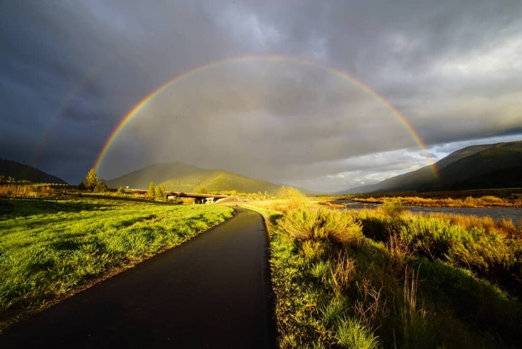
Photo courtesy of Zachary Goodwin
Milltown State Park is located at the spot of the historic Milltown Dam, which was removed in 2008, restoring the flow of the Blackfoot and Clark Fork River confluence. A wide, paved sidewalk provides close-up views of the river with panoramic scenic mountain views on all sides. This area of the park has two entrances that are connected by an accessible paved road. Milltown State Park has ADA-accessible bathrooms, a large parking area and there are information panels throughout the park as well. There is a parking fee or $8/vehicle for non-residents or $4/person for walk-in visitors.
Surface Type: Paved and dirt trails
Trail Length: 635 acres of multi-trail use
Trail Elevation: 3,287 (no notable elevation gain)
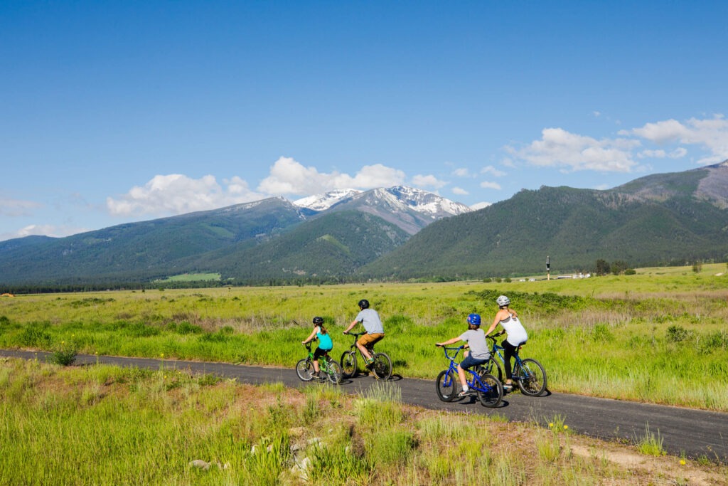
Photo courtesy of Western Montana’s Glacier Country
The Bitterroot Trail is a pedestrian trail that follows the highway connecting Missoula and Hamilton and weaves through the charming small towns in the Bitterroot Valley with frequent views of the Bitterroot River, too. A favorite of bikers, this 10-foot wide trail is also perfect for scenic walks as an accessible trail–the stunning views of the Bitterroot mountain range, one of the most scenic valleys in the area.
Surface Type: Paved
Trail Length: Approximately 50 miles (connects the towns of Missoula and Hamilton)
Trail Elevation: Starting in Missoula, 3,557 ft, descending 400ft towards Hamilton
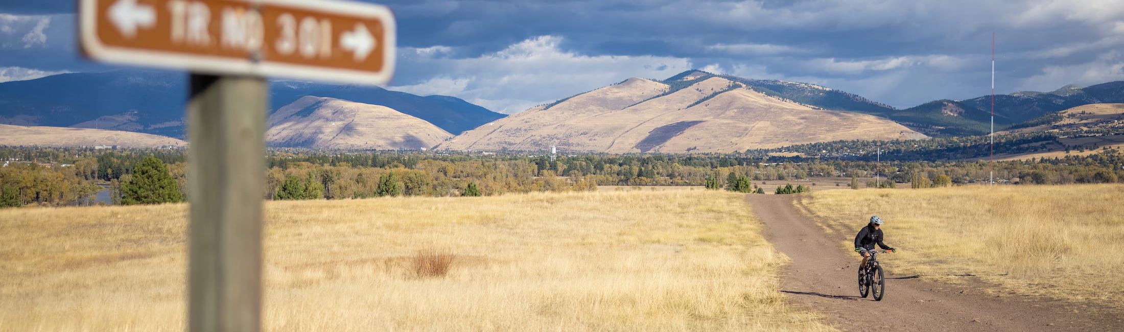
Blue Mountain is perhaps the most popular trail system on the western side of Missoula, and for good reason. Absolutely breathtaking vistas of the city, including Mount Sentinel and Mount Jumbo way off in the distance, and miles of intertwining trails make this a perfect pick-your-own-adventure trail system. Blue Mountain has an extensive trail system, many of which are not ADA-accessible without adaptive equipment, but the main trail starting at the large parking area is wide, well-packed and suitable for wheels of all types (and as you steadily climb the views will only become better and better).
Surface Type: Dirt
Trail Length: 10 miles point to point, many trail options throughout
Trail Elevation: Lowest point: 3,219 ft, highest point: 6,457 ft