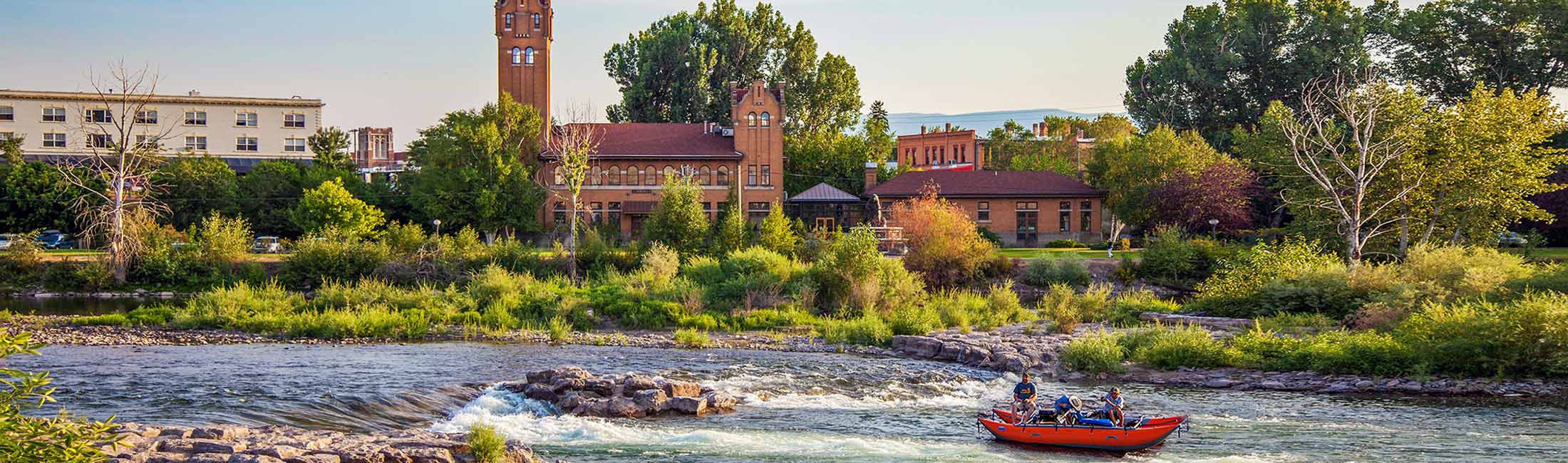
Rivers provide tremendous natural, recreational, and economic benefits to Missoula. They sustain life for fish and wildlife, while keeping us close to nature. Whether you are visiting for a day or are a lifelong resident, we all play a role in caring for Missoula’s rivers. Thank you for keeping the rivers healthy and safe for all.
Remember, you?re sharing the river with others.
Rivers are powerful natural systems that should be respected.
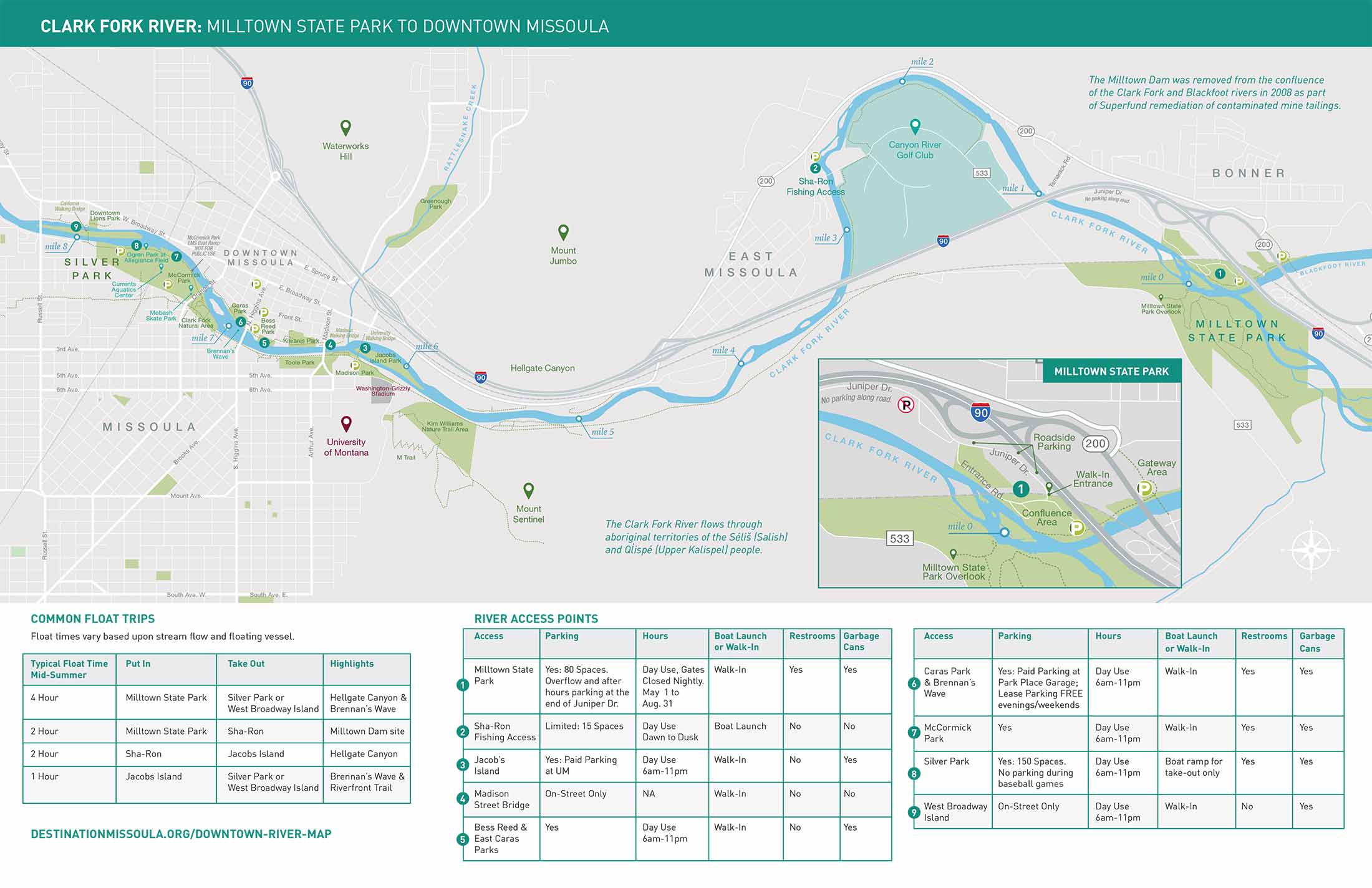
Because parking is limited at all sites, consider
Parking congestion creates challenges for neighbors, land managers, and public safety. Consider carpooling, transit or shuttle services, and/or rideshare options. Park only in designated areas. Do not park on Tamarack Road/Juniper Drive from the junction of Highway 200 to the entrance of the Confluence Area of Milltown State Park.
The Confluence Area of Milltown State Park offers floaters handcarry access to the river. There?s no parking along the interior park road but room for 80 vehicles at the parking area. Please be aware that out-of-state vehicles are subject to an $8 nonresident entry fee. The gate is closed and locked nightly and reopened at 9 am. No overnight parking allowed. Outside the park, there is additional parking along the road at the end of Juniper Drive. The gated railroad underpass leads pedestrians to the parking area and river. The park?s walk-in hours are sunrise to sunset.
Download your copy of the Downtown River Map by clicking here.