Land Agency
U.S. Forest Service
406.329.3814
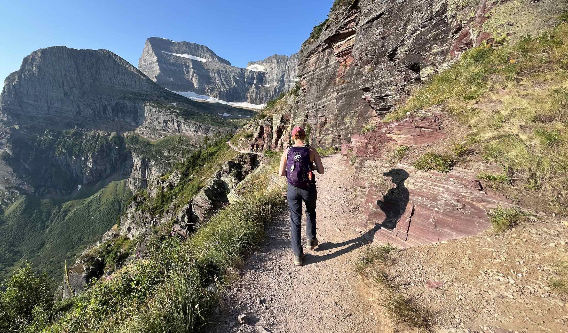
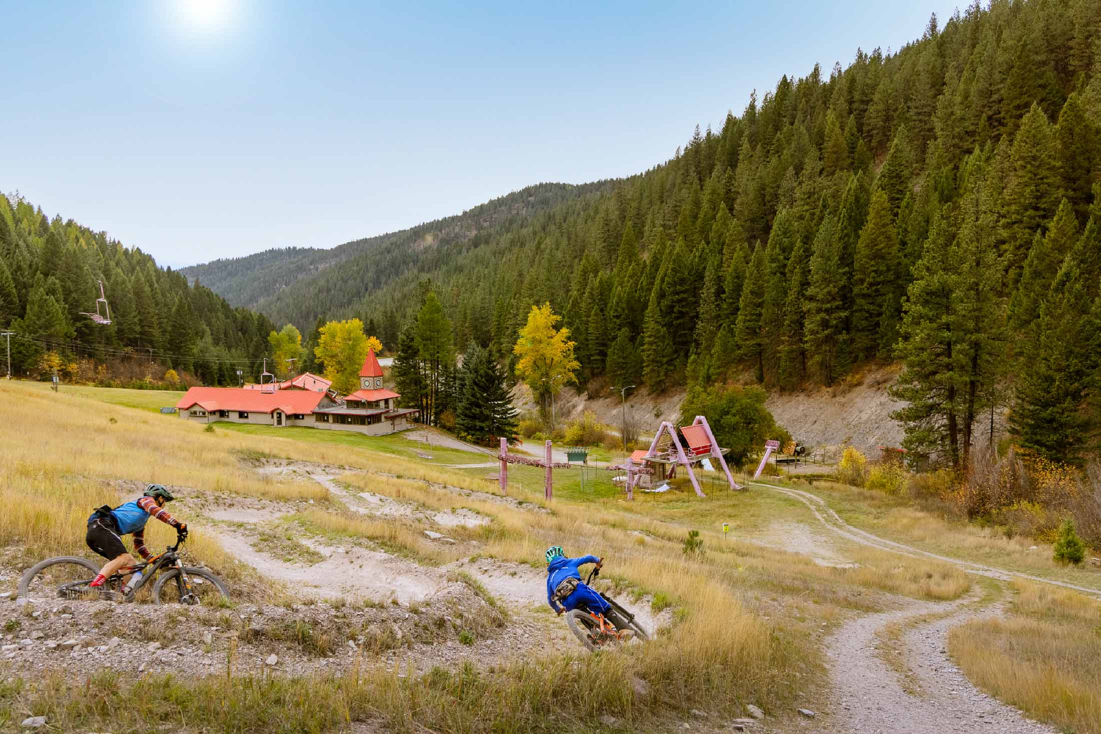
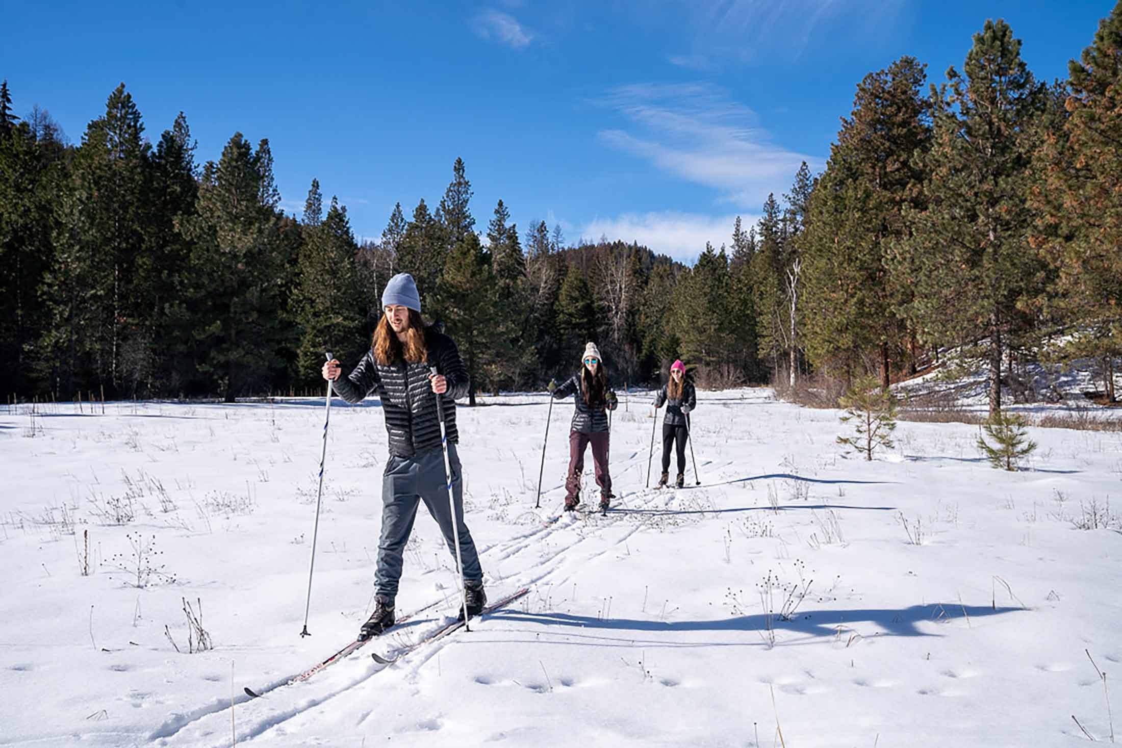
Just 3 miles north of downtown Missoula, the Rattlesnake National Recreation Area spans 28,000 acres, with 33,000 adjacent acres of designated wilderness and 73 miles of trails to explore. Nearly all of the trails are multi-use and open to hikers, horseback riders, mountain bikers, runners and Nordic skiers. The area’s South Zone is the most used and lies largely within the first 3 miles of the main trailhead. Areas beyond allow for dispersed camping, and serve as a gateway to the wilderness boundary where multi-day backcountry adventures lead to alpine lakes. Regulations vary depending on the different zones, so make sure to check information boards for specific rules. Pets are not allowed on the trails in winter, and motorized vehicles are prohibited year-round.
Trail Tip: You will be fined if your dog is off-leash in leash-required areas.
The Rattlesnake Main Trail begins at the main trailhead. The trail winds through a scenic pine forest, providing shade for much of the way. The path is a gentle uphill grade and has several offshoot trails that lead along the creek. There is a vault toilet at one of these junctions, as well as one at Poe Meadow, which is approximately 3 miles up the trail and marks the end of the South Zone. Beyond the South Zone, dispersed camping is allowed, provided visitors follow food storage and fire regulations and stay no more than 16 days. Beyond the wilderness boundary, hikers can access trails that lead to lakes.
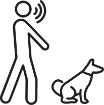
Note: Adaptive bikes are allowed on these trails, but the route is not wheelchair friendly. Dogs must be leashed from the south boundary to milepost 1.7. Beyond milepost 1.7, dogs must be under voice control. Dogs are not allowed along Rattlesnake Creek from the south boundary to milepost 1.7 from Dec. 1 through March 1.
Length: ~15 miles round trip
Elevation: ~1,381 ft. elevation gain
Time: Variable Time
Difficulty: Easy-Moderate-Hard




Start at the main trailhead parking area and follow the EWOK Trail as it parallels Sawmill Gulch Road to the Sawmill Gulch trailhead. Continue uphill and take the first left onto Turkey Trail, then connect to Fenceline Trail. This enjoyable loop eventually reconnects with EWOK, leading you back to the main trailhead.
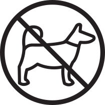
Note: Year-round: No dogs allowed in Sawmill Gulch and Curry Gulch.
Length: 8.3 miles round trip
Elevation: 1,341 ft. elevation gain
Time: 4-5 hours
Difficulty: Moderate
The Wallman Trail loop starts at the main trailhead and can be completed clockwise or counterclockwise. After a half mile head left up Spring Gulch (trail #517), or continue straight up the main corridor trail for approximately 2 miles and access Wallman Trail #29.1 on the left. There is a creek crossing over Spring Creek, but summer water levels should make this easy. This is a great trail to see the changing colors of larch trees in the fall, and during the warm season, you can even find some huckleberries hiding in the underbrush.
Note: Dec. 1 – March 1: No dogs allowed from the southern boundary to milepost 1.7 along Rattlesnake Creek. Dec. 1 – May 16: No dogs allowed on Spring Gulch and Stuart Peak Trail #517. Year-round: No dogs allowed in Sawmill Gulch and Curry Gulch. No restrictions: Dogs are allowed in Woods Gulch year-round.
Length: 9.38 miles round trip
Elevation: 1,385 ft. elevation gain
Time: 4 hours
Difficulty: hard
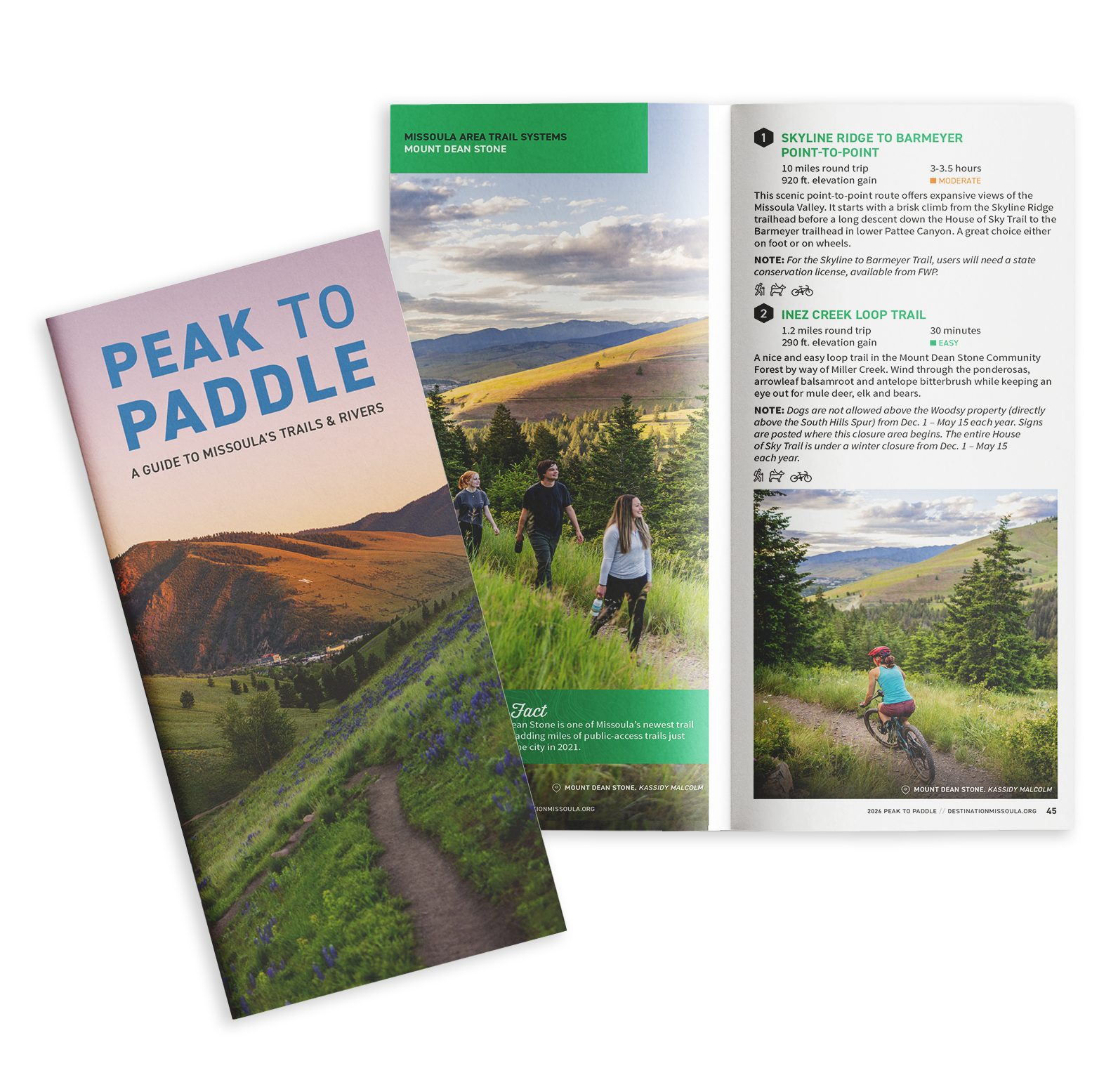
Situated in the heart of five mountain valleys and at the confluence of three rivers, Missoula, Montana, is a haven for outdoor recreation and nature enthusiasts, as well as an important habitat and migration corridor for many animal species critical to the intermountain west’s vibrant wilderness. Whether you are just passing through or if you call Missoula home, here are some ways you can do your part to keep Missoula beautiful from peak to paddle.