Land Agency
City of Missoula
406.552.6000
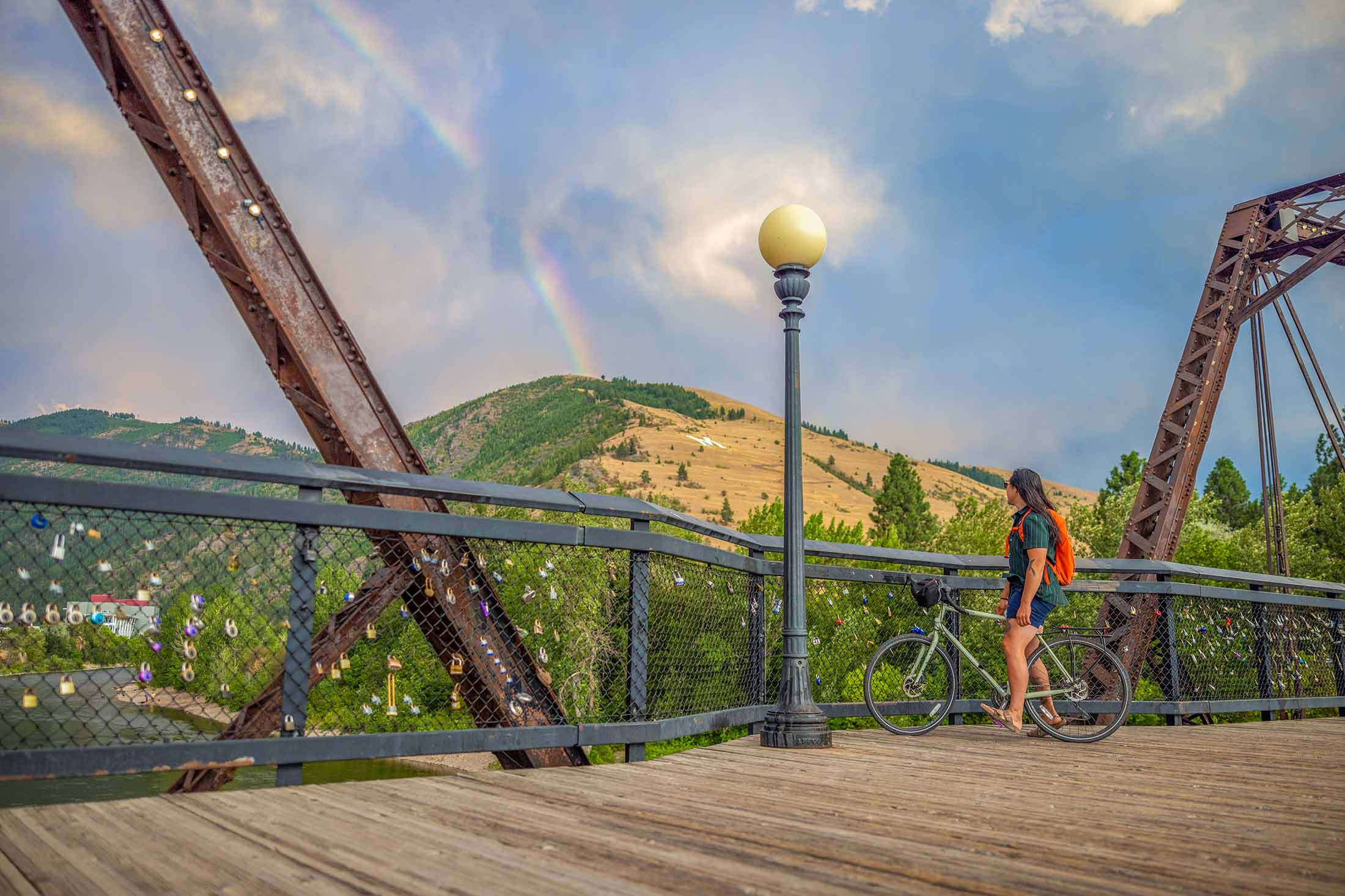
Mount Jumbo rises to 4,768 feet above Missoula on the north side of the valley, overlooking downtown and the entrance to Hellgate Canyon. The mountain is both a beloved recreation area and important wildlife habitat, with ample hiking, biking and sweeping views of the city from the famous hillside “L”— one of Missoula’s most recognizable landmarks. To protect wintering elk and local wildlife, large portions of the mountain are seasonally closed from Dec. 1 through early spring. Be sure to check current closure information before visiting
Trail Tip: If you’re looking for one of the best sunset views in Missoula, Mount Jumbo is the place. You can take in the sweeping views of the entire Missoula Valley and Lolo Peak.
From the Cherry St. trailhead, begin up the U.S. West Trail and take a left onto the L Trail. Take a break at the L and enjoy panoramic views of Missoula. Continue climbing to the plateau of Mount Jumbo, offering views across the valley and of the Rattlesnake Mountains. From there, follow the South Face Trail as it descends via switchbacks into Hellgate Canyon, finishing back at the Cherry Street trailhead.
Length: 4.6 miles round trip
Elevation: 1,496 ft. elevation gain
Time: 3-3.5 hours
Difficulty: Hard
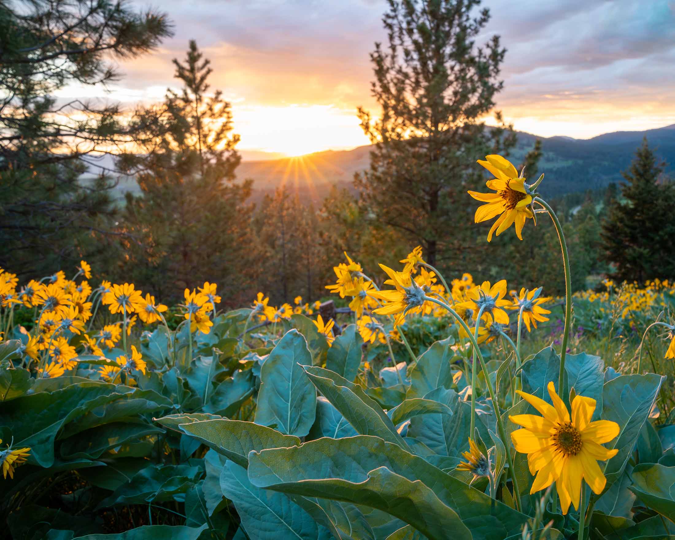
Start from the Lincoln Hills trailhead on Jumbo Saddle Road. Stay left to follow the North Loop Trail, which circles the north hills of Mount Jumbo. Enjoy incredible views stretching from the Rattlesnake Valley to the Bitterroot Mountains, with spring bringing an abundance of wildflowers along the route. Continue to the trail junction at the top and stay straight to complete the loop back to the Lincoln Hills trailhead.
Length: 4.0 miles round trip
Elevation: 613 ft. elevation gain
Time: 2-3 hours
Difficulty: Moderate

Start from the Cherry St. trailhead and follow the U.S. West Trail’s historic road grade on the south face of Mount Jumbo. With this route, skip the steepest parts of Mount Jumbo’s south face and get great views of the city, Hellgate Canyon and the Clark Fork River
Note: The area north of Saddle Road is closed to both people and dogs from Dec. 1 – April 30. From May 1 – Nov. 30, dogs may be off-leash if they remain under voice control, meaning the owner or custodian must be within 25 yards, in clear view of the dog, and able to control and recall the dog at all times. The area south of Saddle Road is closed to both people and dogs from Dec. 1 – March 15. From March 16 – Nov. 30, dogs may be off-leash under voice control. Areas below Upper Lincoln Hills Drive, along the “L” Trail (but not beyond it), and within the U.S. West easement above I-90 remain open year-round. However, dogs must be on-leash in these areas from Dec. 1 – April 30 and under voice control from May 1 – Nov. 30.
Length: 3.5 miles round trip
Elevation: 777 ft. elevation gain
Time: 1.5-2 hours
Difficulty: Moderate
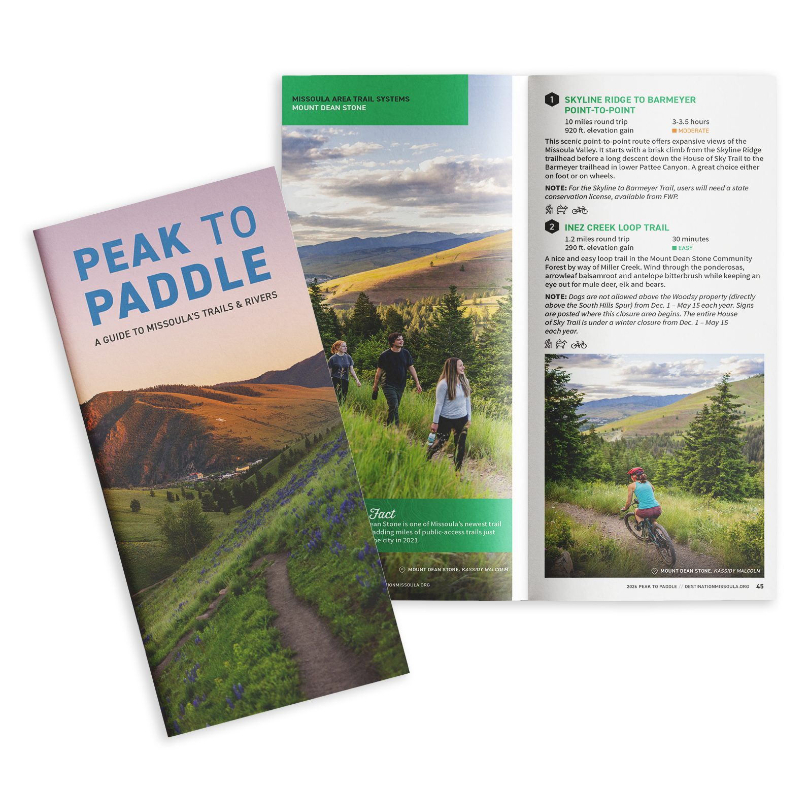
Situated in the heart of five mountain valleys and at the confluence of three rivers, Missoula, Montana, is a haven for outdoor recreation and nature enthusiasts, as well as an important habitat and migration corridor for many animal species critical to the intermountain west’s vibrant wilderness. Whether you are just passing through or if you call Missoula home, here are some ways you can do your part to keep Missoula beautiful from peak to paddle.