Land Agency
U.S. Forest Service
406.329.3814
Pattee Canyon Recreation Area lies just southwest of downtown and is home to 5,914 acres and approximately 27 miles of non-motorized trails. Many of the trails in Pattee Canyon connect to the city and university trail systems, but most of the area is only reachable by gravel road. Vault toilets are available in trailhead parking lots, and the area features a picnic area for day-use in the warm season, three group picnic sites available by reservation and an 18-hole disc golf course. The area also offers Nordic skiing in the winter with trail maintenance and grooming provided by Missoula Nordic Ski Club. No motorized use—including e-bikes—is allowed.
Trail Tip: Pattee Canyon is the perfect summer escape on hot Missoula days. Towering ponderosa pines and dense forest shade offer a cooler environment to hike, bike and enjoy the outdoors, even on the hottest days. Note that dogs must be under voice control throughout Pattee Canyon Recreation Area. Dogs are prohibited on groomed Nordic trails during the winter season in Pattee Canyon Recreation Area.
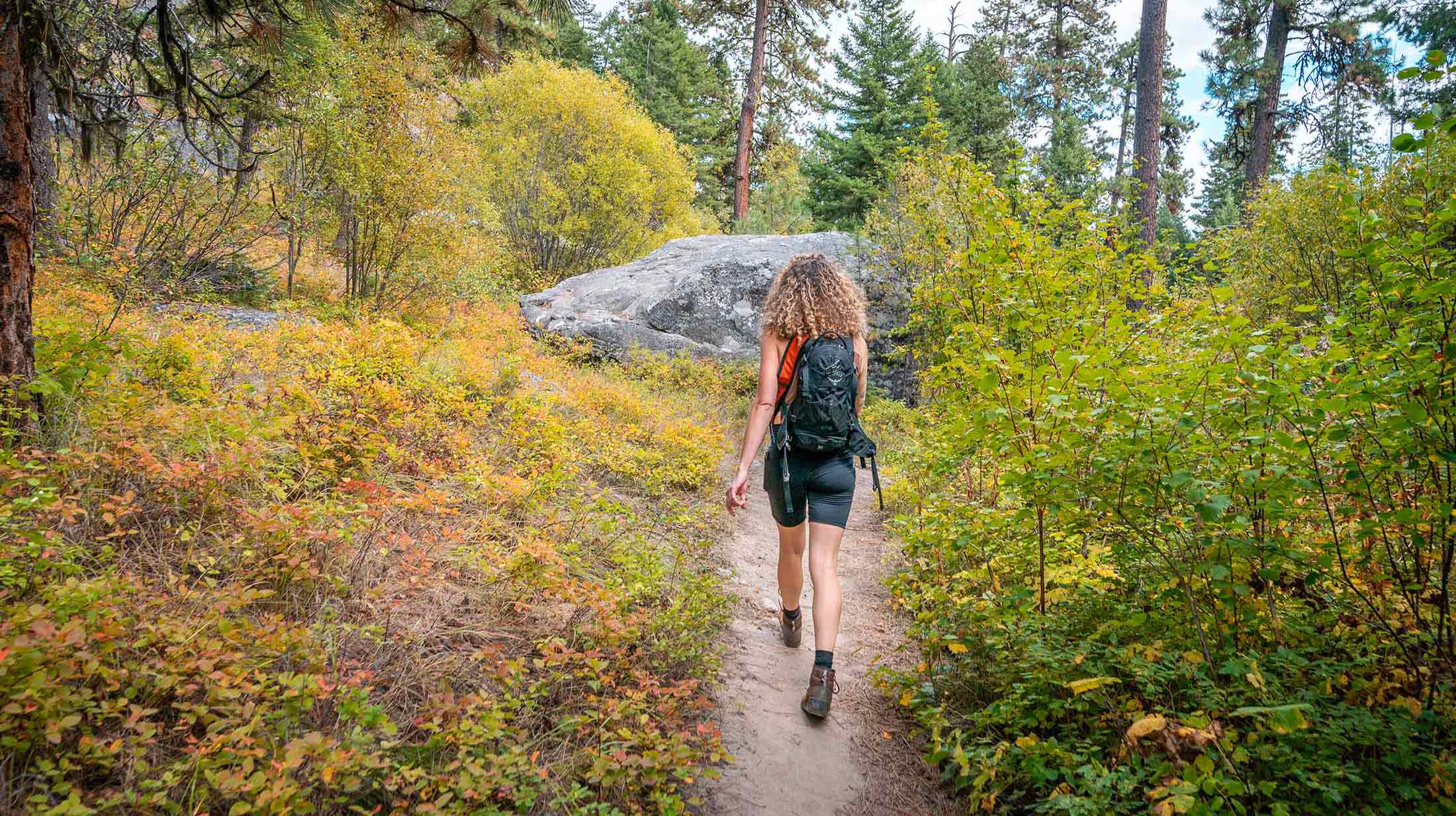
The trail starts at the parking area at the top of Pattee Canyon. It is a steady incline with most of the elevation gain within the first mile. The trail travels through old growth ponderosa pine and western larch. This route offers several offshoot trails to extend or shorten the route.
Note: No hiking, pets or bikes allowed in the winter.
Length: 3.7 miles round trip
Elevation: 544 ft. elevation gain
Time: 1-2 hours
Difficulty: Easy





From the Crazy Canyon parking lot take the Crooked Trail #302 to Ginny Mountain Trail, which leads up to Ginny Mountain. The trail runs through pine forests and provides ample shade along the way.
Length: 2.5 miles roundtrip
Elevation: 623 ft. elevation gain
Time: 1-2 hours
Difficulty: Easy- Moderate
This scenic loop hike offers incredible views, sweeping mountain scenery and abundant wildflowers throughout the summer months. Begin on Crooked Trail #302 from the Crazy Canyon parking area and follow it to the road grade. At the T-intersection, turn right onto the Crooked Cutoff, then take another right at the second intersection onto University Ridge Trail #302.2. Follow the trail to the ridgeline and connect with Trail #302.5, which leads back to the parking area. For a shorter option, take the Tumbleweed Ridge Trail on the descent to reduce the hike by approximately 0.5 miles and 500 feet of elevation.
Length: 6.3 miles round trip
Elevation: 2,150 ft. elevation gain
Time: 4-5 hours
Difficulty: Hard
Start at the Crazy Canyon trailhead and follow the road grade trail behind the locked gate in the parking lot. This trail is gradual until the last mile, which is a steep incline. At the end you will be rewarded with beautiful views of the valley from the top of Mount Sentinel. This trail is shaded most of the way through pine forests.
Length: 7.1 miles round trip
Elevation: 1,213 ft. elevation gain
Time: 3-4 hours
Difficulty: Moderate
Situated in the heart of five mountain valleys and at the confluence of three rivers, Missoula, Montana, is a haven for outdoor recreation and nature enthusiasts, as well as an important habitat and migration corridor for many animal species critical to the intermountain west’s vibrant wilderness. Whether you are just passing through or if you call Missoula home, here are some ways you can do your part to keep Missoula beautiful from peak to paddle.