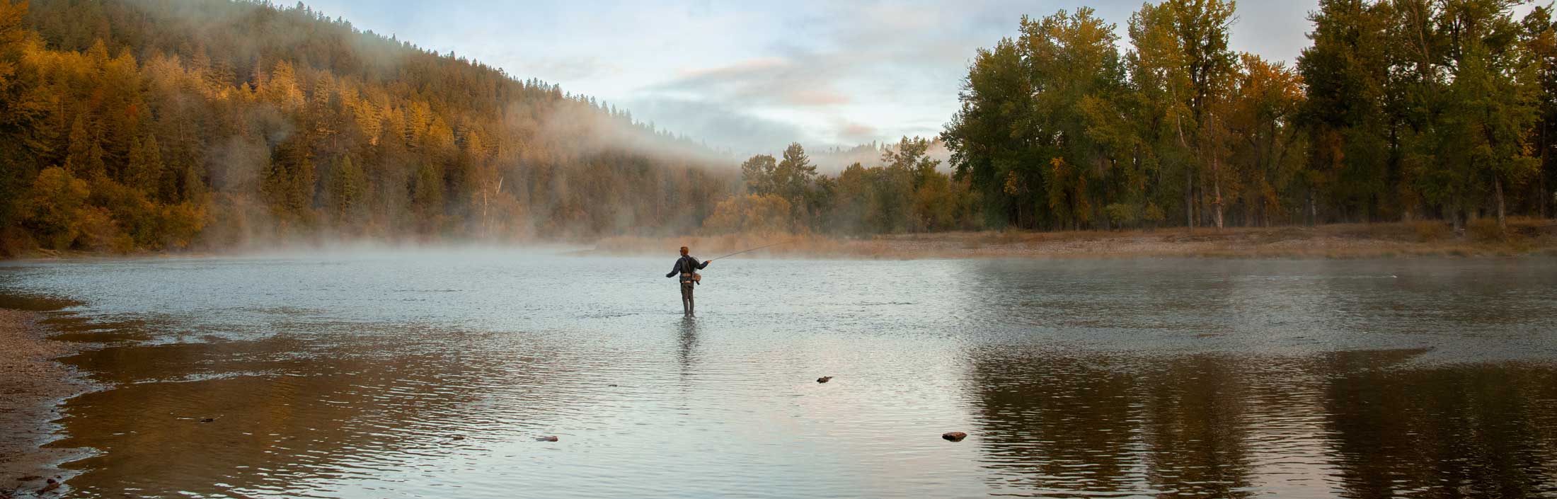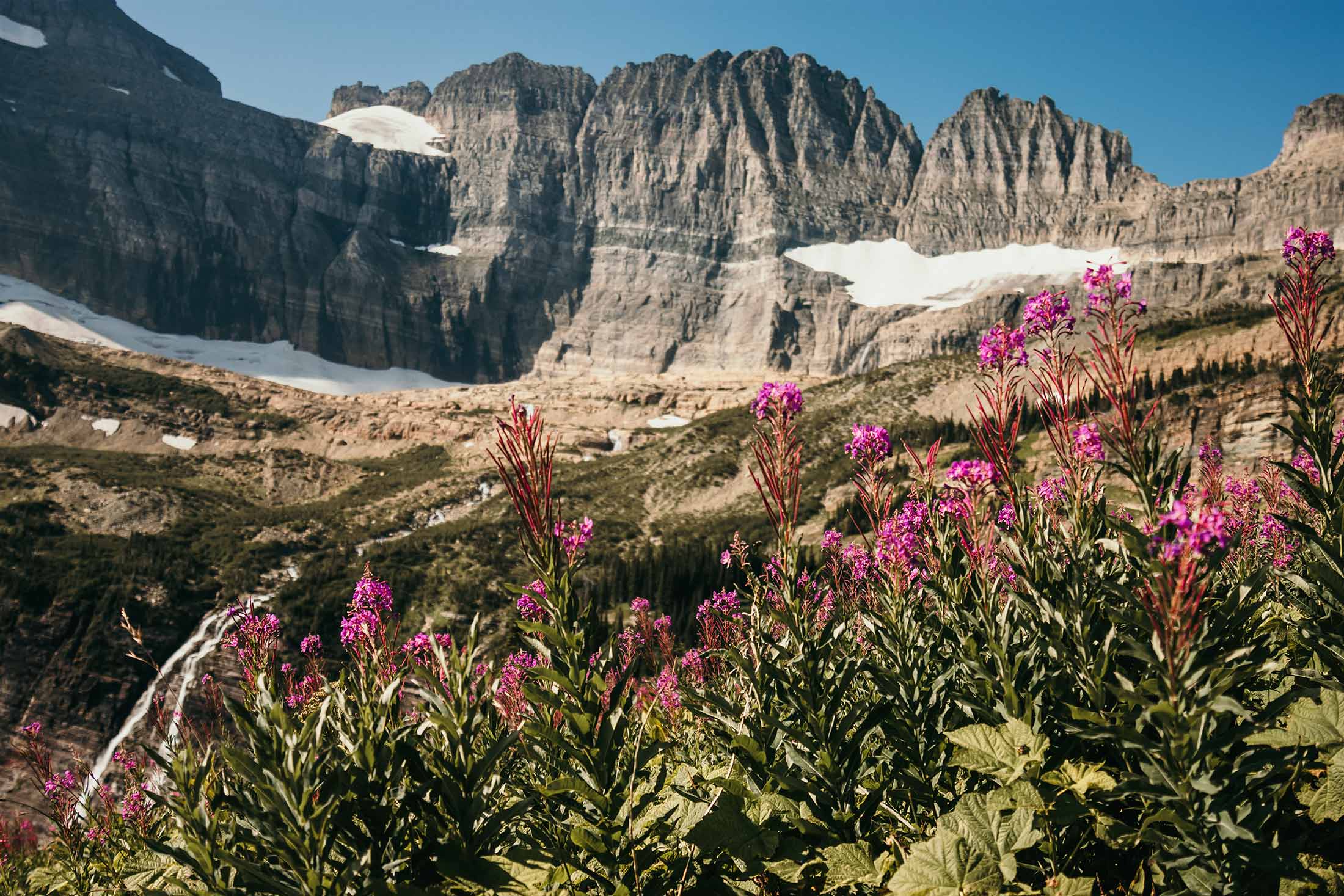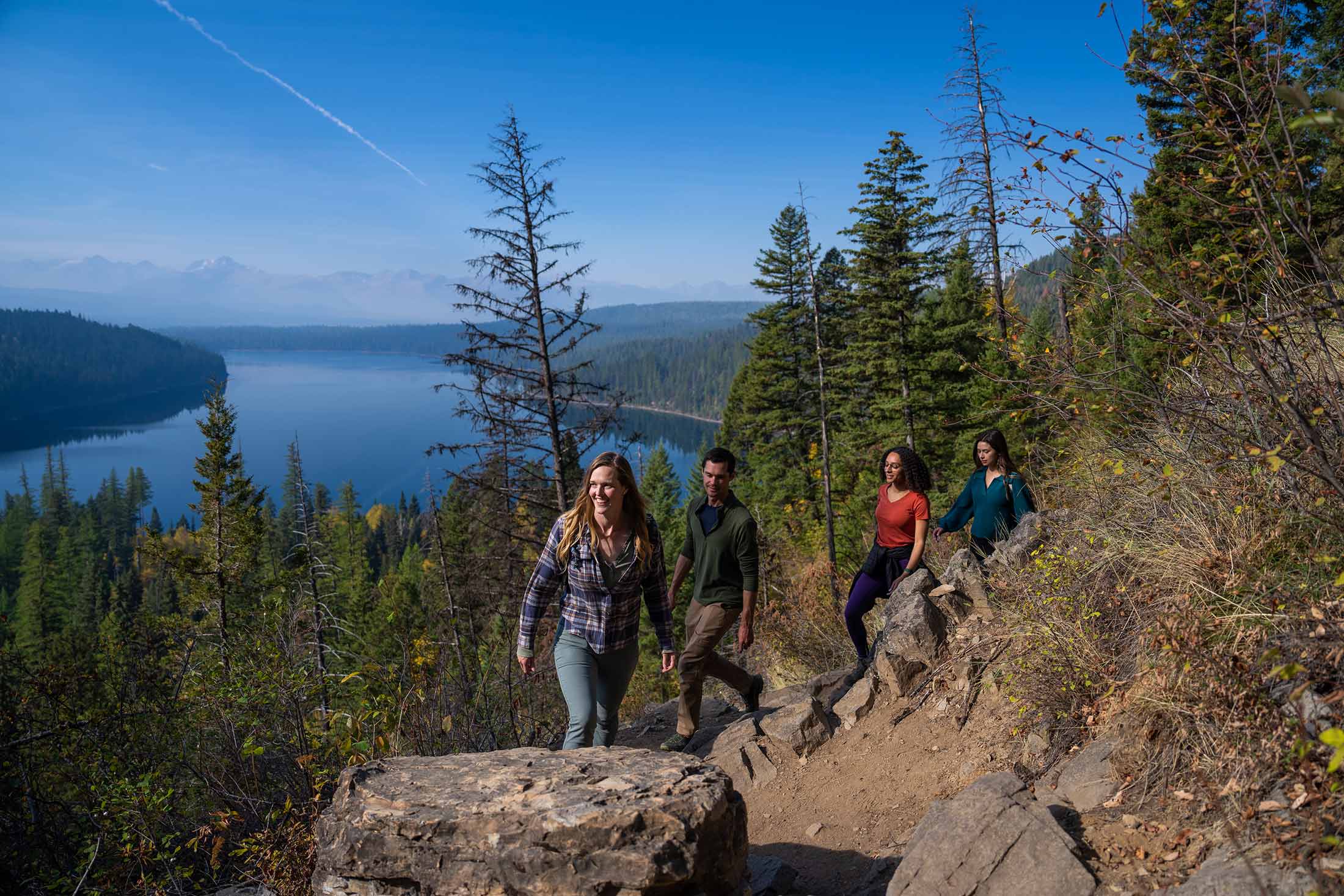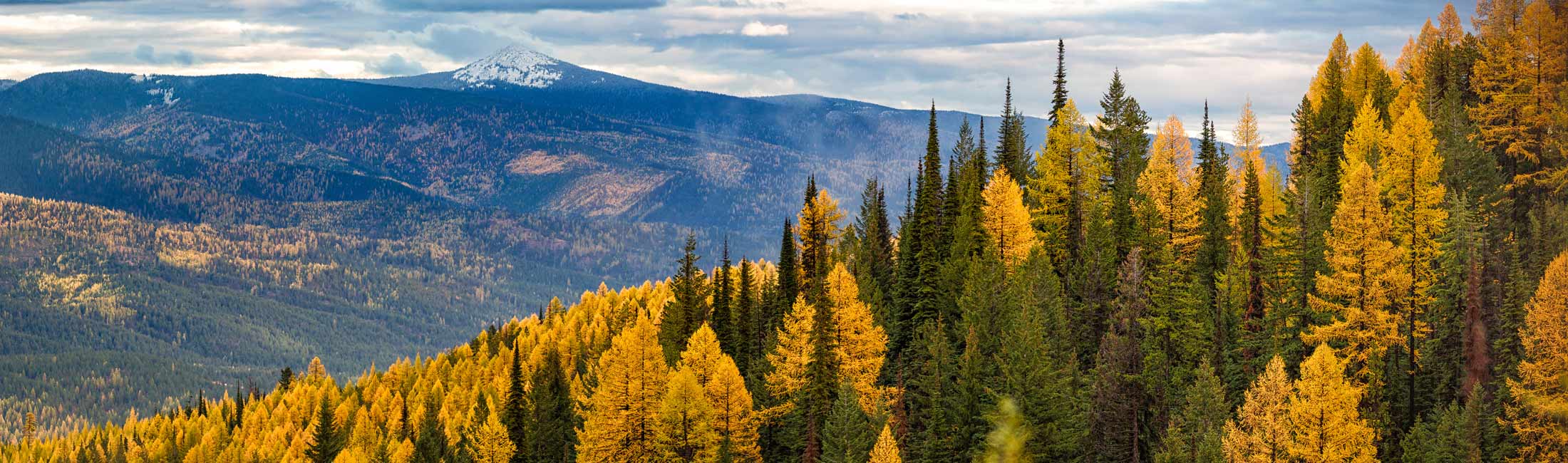
Venture west into the mountains to explore some of Montana’s most dramatic scenery. Among the towering pines and golden larches, you’ll find endless acreage just waiting to be discovered. Multi-day backpacking adventures, thrilling whitewater rapids and unforgettable landscapes make heading west a perfect day of outdoor adventure.
At 7,996 feet, Ch-paa-qn Peak (pronounced “Cha pa kwin”) is the highest point in the Ninemile Ranger District and one of the most prominent peaks west of Missoula. Named from the Salish word meaning “shining peak,” the mountain sits at the south edge of the Flathead Reservation and offers 360-degree views of the Bitterroot, Mission, Swan, Flathead and Coeur d’Alene Mountains. Popular with hikers in summer and backcountry skiers in winter, Ch-paa-qn is typically accessed from the Reservation Divide Trailhead and rewards visitors with panoramic vistas from its distinctive pyramid-shaped summit.
Note: The Confederated Salish and Kootenai Tribes require a permit for all non-members recreating in this area. For more information, please visit: cskt.org/wildland-recreation. Approximately 40 miles from Missoula
Length: 7.2 miles round trip
Elevation: 1,965 ft. elevation gain
Time: 5-6 hours
Difficulty: Hard


Historic Lolo Trail at Howard Creek offers access to one of the Northern Rockies’ most significant historic routes. Located along U.S. Highway 12, the site features a picnic area, interpretive displays and a short 0.4-mile loop that provides an easy introduction to the area’s rich history. For those seeking a longer adventure, the trail continues beyond Howard Creek, offering a more challenging hike through scenic forests and historic landscapes along the renowned Lolo Trail.
Note: Approximately 30 miles from Missoula
Length: 14.4 miles round trip
Elevation: 4,401 ft. elevation gain
Time: 8-8.5 hours
Difficulty: Hard
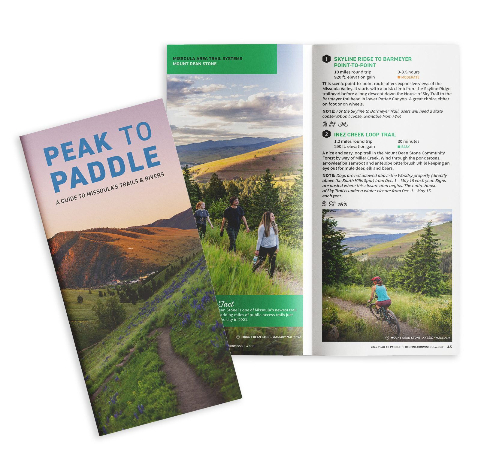
Situated in the heart of five mountain valleys and at the confluence of three rivers, Missoula, Montana, is a haven for outdoor recreation and nature enthusiasts, as well as an important habitat and migration corridor for many animal species critical to the intermountain west’s vibrant wilderness. Whether you are just passing through or if you call Missoula home, here are some ways you can do your part to keep Missoula beautiful from peak to paddle.