Land Agency
City of Missoula
406.552.6000
If you’re looking to stretch your legs without leaving town, Missoula’s downtown and city center trail system offers easy access to outdoor recreation in the heart of the city. Connected by scenic paths along the Clark Fork River, these trails provide a mix of urban convenience, natural beauty, and access to local parks, attractions, and some of Missoula’s most iconic landmarks. Great for a quick walk, morning run or leisurely bike ride, the city center trails offer an easy way to experience Missoula’s outdoor culture close to downtown.
Trail Tip: These trails are fully accessible and feature wide, smooth surfaces designed to accommodate wheelchairs, mobility devices and strollers, allowing visitors of all abilities to enjoy the trails and surrounding scenery.
Visit Missoula’s first park, donated by the Greenough family in 1902. Follow City Drive Trail up the west side of the park, cross the creek at City Drive and loop back through the park on the Greenough East Pedestrian Trail. You’ll follow the Bolle Bird Loop along this route, stopping along the way to enjoy views of Rattlesnake Creek and learn about the birds that call this scenic preserve home.
Length: 1.5 miles round trip
Elevation: 87 ft. elevation gain
Time: 1-1.5 hours
Difficulty: Easy




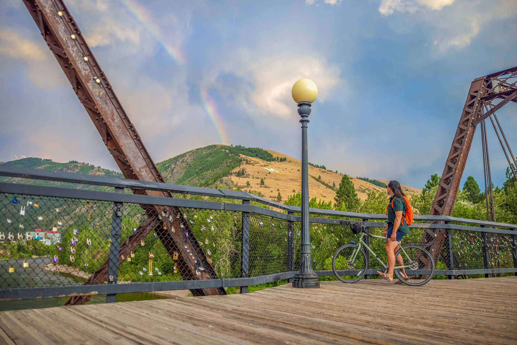
From Caras Park, follow Ron’s River Trail along the north side of the Clark Fork River, where you’ll pass iconic Missoula landmarks like A Carousel for Missoula, Brennan’s Wave and—in the summertime— the Clark Fork River Market. Cross to the south side at the Madison Footbridge, then head west along the Milwaukee Trail. Continue past the historic Milwaukee Depot and through the Clark Fork Natural Area, then cross the river again at Orange Street to loop back to Caras Park.
Length: 4 miles round trip
Elevation: 4 ft. elevation gain
Time: 1.5-2 hours
Difficulty: Easy
Explore Missoula along the Bitterroot Branch Trail. This historic railway-turned-multiuse path connects neighborhoods throughout Missoula. Use the trail to connect to stops in town, or take a bike and extend your adventure all the way down the beautiful Bitterroot Valley (the paved Bitterroot Trail ends in Hamilton, Montana, 40 miles south of Missoula).
Length: ~10.55 miles round trip
Elevation: ~ 53 ft. elevation gain
Time: ~3-4 hours
Difficulty: Easy-Moderate
Situated in the heart of five mountain valleys and at the confluence of three rivers, Missoula, Montana, is a haven for outdoor recreation and nature enthusiasts, as well as an important habitat and migration corridor for many animal species critical to the intermountain west’s vibrant wilderness. Whether you are just passing through or if you call Missoula home, here are some ways you can do your part to keep Missoula beautiful from peak to paddle.